This suite of online, publicly accessible spatial data tools helps support local Houston-Galveston area governments and partners by providing spatial analysis capacity for land cover, urban forest canopy, conservation projects, flood mitigation, impacts to habitat, low impact development, and solid waste facilities. The applications in online ESRI GIS format allow users to define their own project areas, interact with various data sources, and generate individualized reports.
In a nutshell, this resource offers:
- Data sources that allows users without GIS capacity or with casual data needs to access robust spatial analysis capabilities.
- A way to enhance local planning efforts.
How to use this resource:
- As a model to bring spatial analyses tools to local partners under a unified data set.
Author: Houston-Galveston Area Council
Point of contact: Justin Bower, Planner, Houston-Galveston Area Council justin.bower@h-gac.com
Resource is available online here.
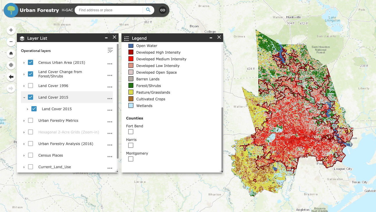 This is a screen capture of the Houston-Galveston Area urban forestry tool. Click the image or link above to navigate to the online tool.